Category:Mission maps
From Guild Wars Wiki
Jump to navigationJump to search
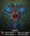
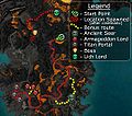
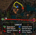
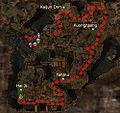
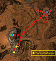
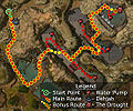
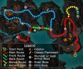
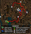
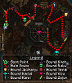
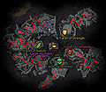
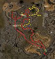
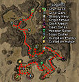
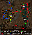
Maps for missions.
Media in category "Mission maps"
The following 56 files are in this category, out of 56 total.
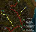
- Abaddon's Gate map.jpg 469 × 234; 55 KB
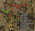
- Abaddon's Mouth map.jpg 725 × 600; 215 KB
- Arborstone map.jpg 517 × 735; 237 KB
- Aurora Glade map.jpg 775 × 583; 248 KB
- Blacktide Den map.jpg 658 × 587; 192 KB
- Bloodstone Fen map.jpg 845 × 375; 95 KB
- Boreas Seabed map.jpg 800 × 419; 195 KB
- Borlis Pass map.jpg 764 × 521; 228 KB
- Chahbek Village map.jpg 355 × 490; 101 KB
- Consulate Docks map.jpg 655 × 487; 148 KB
- D'Alessio Seaboard map.jpg 580 × 265; 51 KB
- Dasha Vestibule map.jpg 871 × 685; 250 KB
- Divinity Coast map.jpg 542 × 329; 165 KB
- Dunes of Despair map.jpg 590 × 524; 173 KB
- Dzagonur Bastion map.jpg 643 × 456; 131 KB
- Elona Reach map.jpg 675 × 404; 144 KB
- Eternal Grove map.jpg 195 × 167; 8 KB
- Fort Ranik map.jpg 280 × 794; 40 KB
- Gate of Desolation map.jpg 524 × 488; 111 KB
- Gate of Madness map.jpg 414 × 519; 80 KB
- Gate of Pain map.jpg 626 × 422; 177 KB
- Gates of Kryta map.jpg 436 × 627; 54 KB
- Grand Court of Sebelkeh map.jpg 407 × 487; 83 KB
- Gyala Hatchery map.jpg 232 × 424; 50 KB
- Hell's Precipice map.jpg 536 × 473; 51 KB
- Ice Caves of Sorrow map.jpg 736 × 561; 87 KB
- Imperial Sanctum map.jpg 479 × 468; 97 KB
- Iron Mines of Moladune map.jpg 240 × 704; 45 KB
- Jennur's Horde map.jpg 551 × 322; 116 KB
- Jokanur Diggings map.jpg 600 × 419; 139 KB
- Kodonur Crossroads map.jpg 545 × 682; 177 KB
- Minister Cho's Estate map.jpg 783 × 385; 169 KB
- Moddok Crevice map.jpg 242 × 477; 155 KB
- Nahpui Quarter map.jpg 993 × 932; 223 KB
- Nolani Academy map.jpg 526 × 673; 49 KB
- Nundu Bay map.jpg 357 × 385; 66 KB
- Pogahn Passage map.jpg 730 × 572; 104 KB
- Raisu Palace map.jpg 737 × 323; 156 KB
- Rilohn Refuge map.jpg 550 × 459; 139 KB
- Ring of Fire map.jpg 677 × 562; 151 KB
- Riverside Province map.jpg 597 × 306; 33 KB
- Ruins of Surmia map.jpg 394 × 712; 49 KB
- Sanctum Cay map.jpg 352 × 289; 28 KB
- Sunjiang District map.jpg 442 × 484; 127 KB
- Tahnnakai Temple map.jpg 480 × 555; 134 KB
- The Dragon's Lair map.jpg 432 × 379; 49 KB
- The Frost Gate map.jpg 275 × 610; 154 KB
- The Great Northern Wall map.jpg 535 × 567; 54 KB
- The Wilds map.jpg 503 × 331; 225 KB
- Thirsty River map.jpg 522 × 544; 142 KB
- Thunderhead Keep map.jpg 316 × 545; 38 KB
- Tihark Orchard map.jpg 454 × 276; 150 KB
- Unwaking Waters map.jpg 877 × 722; 108 KB
- Venta Cemetery map.jpg 720 × 561; 183 KB
- Vizunah Square map.jpg 629 × 693; 196 KB
- Zen Daijun map.jpg 800 × 458; 198 KB


