Category:Prophecies explorable area maps
From Guild Wars Wiki
Jump to navigationJump to search
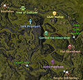
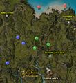
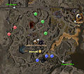
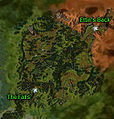
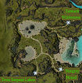
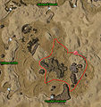
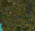
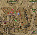
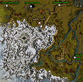
All explorable areas in the Prophecies campaign.
Media in category "Prophecies explorable area maps"
The following 53 files are in this category, out of 53 total.
- Anvil Rock map.jpg 450 × 445; 161 KB
- Ascalon Foothills map.jpg 250 × 245; 86 KB
- Catacombs map.png 450 × 579; 457 KB
- Cursed Lands map.jpg 250 × 289; 68 KB
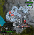
- Deldrimor Bowl map.jpg 350 × 560; 210 KB
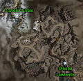
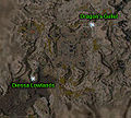
- Diessa Lowlands map.jpg 525 × 414; 153 KB
- Dragon's Gullet map.jpg 525 × 492; 245 KB
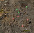
- Dreadnought's Drift map.jpg 250 × 229; 88 KB
- Dry Top map.jpg 300 × 280; 70 KB
- Eastern Frontier map.jpg 500 × 491; 186 KB
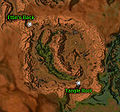
- Ettin's Back map.jpg 550 × 318; 138 KB
- Flame Temple Corridor map.jpg 300 × 271; 104 KB
- Frozen Forest map.jpg 500 × 310; 139 KB
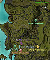
- Green Hills County map.jpg 600 × 428; 283 KB
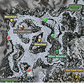
- Grenth's Footprint map.jpg 450 × 278; 116 KB
- Griffon's Mouth map.jpg 250 × 256; 86 KB
- Icedome map.jpg 200 × 204; 55 KB
- Iron Horse Mine map.jpg 550 × 268; 113 KB
- Kessex Peak map.jpg 350 × 421; 119 KB
- Lakeside County map.jpg 350 × 428; 135 KB
- Lion's Gate map.jpg 252 × 287; 41 KB
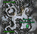
- Lornar's Pass map.jpg 300 × 780; 239 KB
- Majesty's Rest map.jpg 550 × 239; 153 KB
- Mamnoon Lagoon map.jpg 250 × 261; 64 KB
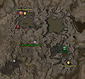
- Mineral Springs map.jpg 550 × 274; 166 KB
- Nebo Terrace map.jpg 400 × 385; 128 KB
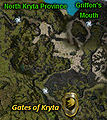
- North Kryta Province map.jpg 450 × 492; 114 KB
- Old Ascalon map.jpg 500 × 440; 254 KB
- Pockmark Flats map.jpg 500 × 721; 311 KB
- Pre-Searing Regent Valley map.jpg 700 × 448; 298 KB
- Reed Bog map.jpg 250 × 262; 62 KB
- Regent Valley map.jpg 600 × 418; 244 KB
- Sage Lands map.jpg 605 × 354; 148 KB
- Scoundrel's Rise map.jpg 200 × 225; 64 KB
- Silverwood map.jpg 450 × 454; 157 KB
- Skyward Reach map.jpg 450 × 481; 220 KB
- Snake Dance map.jpg 250 × 991; 253 KB
- Spearhead Peak map.jpg 350 × 504; 222 KB
- Stingray Strand map.jpg 300 × 424; 106 KB
- Talmark Wilderness map.jpg 500 × 502; 282 KB
- Tangle Root map.jpg 600 × 366; 162 KB
- Tasca's Demise map.jpg 350 × 233; 114 KB
- Tears of the Fallen map.jpg 250 × 254; 99 KB
- The Arid Sea map.jpg 450 × 479; 215 KB
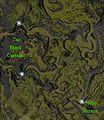
- The Black Curtain map.jpg 500 × 441; 256 KB
- The Breach map.jpg 500 × 320; 168 KB
- The Northlands map.jpg 550 × 322; 156 KB
- The Scar map.jpg 450 × 576; 260 KB
- Traveler's Vale map.jpg 300 × 418; 154 KB
- Twin Serpent Lakes map.jpg 250 × 484; 89 KB
- Vulture Drifts map.jpg 450 × 435; 155 KB
- Watchtower Coast map.jpg 600 × 382; 149 KB
- Wizard's Folly map.jpg 500 × 494; 289 KB
