Northern Shiverpeaks/Map

From Guild Wars Wiki
< Northern Shiverpeaks
Jump to navigationJump to search
Outposts
Shiverpeak Arena
ArenaIcon.png
Yak's Bend
OutpostIcon.png
Ice Tooth Cave
OutpostIcon.png
Beacon's Perch
OutpostIcon.png
Missions
Borlis Pass
MissionIconIncomplete.png
The Frost Gate
MissionIconIncomplete.png
Explorable Areas
Traveler's Vale
Iron Horse Mine
Anvil Rock
Deldrimor Bowl
Griffon's Mouth
Landmarks
The Frost Gate

Interactive Region Maps
Core The Battle Isles
Prophecies Ascalon (pre-Searing) • Ascalon • Northern Shiverpeaks • Kryta • Maguuma Jungle • Crystal Desert • Southern Shiverpeaks • Ring of Fire Island Chain
Factions Shing Jea Island • Kaineng City • Echovald Forest • The Jade Sea
Nightfall Istan • Kourna • Vabbi • The Desolation
Eye of the North 
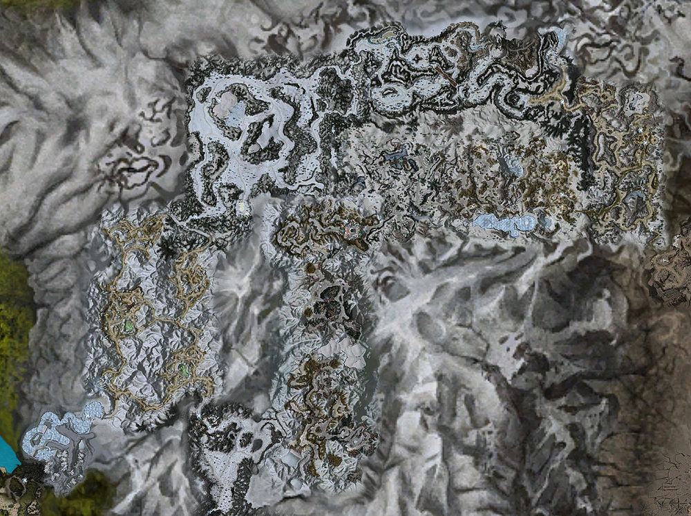
Far Shiverpeaks • Charr Homelands • Tarnished Coast
Regions • Elite Areas
Explorables: Prophecies (War in Kryta) • Factions (Winds of Change) • Nightfall • Eye of the North
Retrieved from "https://wiki.guildwars.com/index.php?title=Northern_Shiverpeaks/Map&oldid=2441921"
Category:
  • Interactive maps

Navigation menu

Page actions

  • Page
  • Discussion
  • Read
  • Edit
  • History

Page actions

  • Page
  • Discussion
  • More
  • Tools

Personal tools

  • Not logged in
  • Talk
  • Contributions
  • Create account
  • Log in

Navigation

  • Main Page
  • Quick links
  • Guild Wars news
  • Community portal
  • Recent changes
  • Random page

support

  • FAQ
  • Help center
  • Support
  • How to contribute
  • Admin noticeboard
  • Report a wiki bug
  • About GWW

Tools

  • What links here
  • Related changes
  • Special pages
  • Printable version
  • Permanent link
  • Page information
  • Transclusion list
Copyright ArenaNet
Powered by MediaWiki
  • This page was last edited on 1 February 2012, at 16:46.
  • Content is available under these licensing terms unless otherwise noted.
  • Privacy policy
  • About Guild Wars Wiki
  • Disclaimers
  • Mobile view